
Zone-Based Coverage
Docks, trailer rows, gates and circulation lanes receive separate view objectives instead of one undifferentiated wide shot.
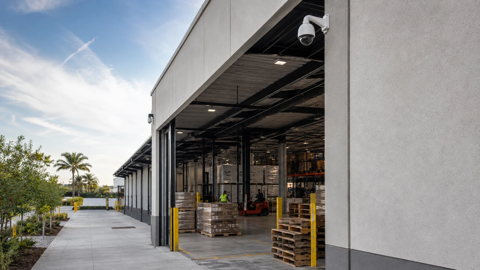
WIDE-SITE CAMERA PLANNING
Warehouse and yard coverage works best when each camera has a defined job tied to a dock, gate, travel lane, staging area or perimeter event.
The planning challenge is to preserve useful detail across long distances and changing light while providing practical routes for power, network transport, recording and future service.
Project planning principles
Docks, trailer rows, gates and circulation lanes receive separate view objectives instead of one undifferentiated wide shot.
Headlights, pole lights, shadows and day-to-night changes are considered at the actual target area.
Long cable routes and detached structures may require fiber, point-to-point wireless or a protected remote cabinet.
Retention and export planning start with who reviews incidents, how quickly they are discovered and what detail must be preserved.
Mounting locations and field equipment should be reachable for cleaning, adjustment and repair without disrupting operations unnecessarily.
A warehouse camera plan should begin with movement and responsibility. Receiving doors, outbound docks, employee parking, trailer staging, outdoor inventory and controlled entrances each create different questions about direction of travel, target size and when an event will be reviewed.
The useful design unit is the zone, not the property boundary. Once the team names the evidence needed in each zone, the survey can compare mounting positions, light sources and network routes without asking a single overview camera to provide every type of detail.
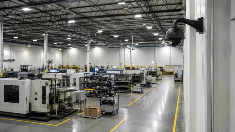
Map inbound and outbound activity separately. Door openings, parked trailers, canopies and high-contrast daylight can change the view, so the target area should be checked with normal loading positions in place.
Identify door numbers and traffic direction.
Decide whether the goal is overview, handoff context or identifying detail.
Account for trailers blocking wall-mounted lines of sight.
Long rows create occlusion and distance problems. Several intersecting views may explain movement better than one high camera that shows the entire yard but little usable detail.
Mark turning points, queue areas, speed changes and conflict zones. Cameras positioned where vehicles naturally slow or change direction often receive a more stable target than cameras aimed across fast lateral travel.
Review pole placement, shadowed edges, headlights and dawn or dusk conditions. Added illumination can improve an image, but its direction and intensity should be checked for glare and uneven exposure.
Copper reach, surge exposure and building separation can make a direct run inappropriate. The survey should locate fiber paths, wireless line of sight, protected cabinets and the equipment that supplies each remote zone.
Estimate storage from the actual camera mix and recording settings, then align retention with how incidents are discovered. A yard event found weeks later creates a different requirement than a dock exception reviewed each shift.
Industrial and distribution properties near Ocala's major transportation corridors may place docks, employee access and trailer movement on different sides of a building. A map should reflect those operational paths instead of simply placing cameras around the exterior walls.
Contractor yards and larger commercial parcels can add outdoor storage, detached shops and gates beyond ordinary copper distance. In those settings, the network route may decide whether a camera location is practical, whether a remote cabinet is serviceable and how the design can expand later.
A camera inside the building may face a bright open door and a dark trailer interior. The survey compares positions and exposure behavior while a representative trailer is at the dock.
The plan uses views along travel aisles and at decision points rather than depending on a distant corner camera that loses targets behind parked equipment.
A protected connection is selected after measuring distance, checking available power and confirming whether fiber or a clear wireless path can reach the gate equipment.
Retention is tied to the delay between a loss or discrepancy and the time operations staff can identify the relevant date and zone.
Have operations staff show where trailers queue, turn, wait and block views. A static plan rarely captures these patterns by itself.
Temporary test positions or representative nighttime images can expose glare, shadow and motion problems before permanent mounts are committed.
Use wide views to explain sequence and dedicated views where identifying detail is required. Combining both goals in one image usually creates a compromise.
Document cabinet access, environmental protection, power source, fiber or wireless path and the safe method for reaching each device.
Advantages
Zone mapping connects video to warehouse procedures.
Multiple viewpoints can reconstruct vehicle and material movement.
Remote transport extends coverage beyond the main building.
Documented naming and time settings speed incident review.
Limitations and Conditions
Parked trailers and inventory can create changing occlusions.
Long-range detail decreases when target size is too small.
Night performance depends on motion, light and exposure at the target.
Remote links and cabinets add maintenance points that must remain accessible.
A property-line view may miss the dock or travel-lane detail that explains an operational event.
Very high positions can improve overview while making faces, labels or vehicle details too small or steeply angled.
Trailers, containers and staged materials should be placed on the survey map because they can block views for long periods.
Straight-line distance is not cable length. The real pathway, building separation and outdoor exposure must be evaluated.
Storage should support the actual time between an event and discovery, not an arbitrary day count copied from another property.
Confirm whether walls, poles or canopies provide a stable position, safe access and a practical route for cable.
Record existing fixtures, glare sources, headlight direction and the darkest operating period relevant to the view.
Measure every route and decide where copper ends, fiber begins or a wireless bridge is justified.
Remote switches, media equipment and power components need an enclosure and location suited to heat, moisture, dust and service access.
Camera resolution, frame rate, compression, scene activity and retention goals all affect storage and network load.
Mark docks, gates, staging areas and circulation paths.
Define the evidence goal for every priority zone.
Record normal vehicle speed and direction.
Inspect representative day and night lighting.
Measure actual cable and backbone routes.
Identify safe mounting and service access.
Locate recording, switching and remote cabinets.
Agree on retention and export responsibilities.
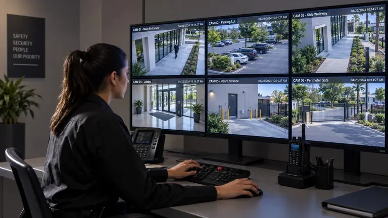
Explore how cameras, access control and supporting network infrastructure can serve docks, inventory areas, vehicle movement and day-to-day warehouse operations.
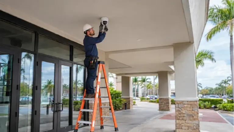
Review Data Pro's commercial camera installation services when the site plan, evidence goals and infrastructure responsibilities are ready to become an implementation scope.
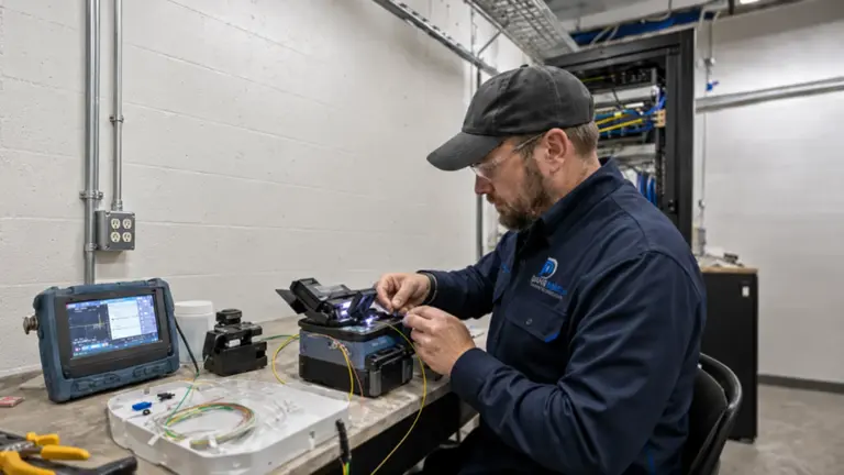
When distance, building separation or backbone capacity rules out a direct copper route, fiber may become the supporting service.
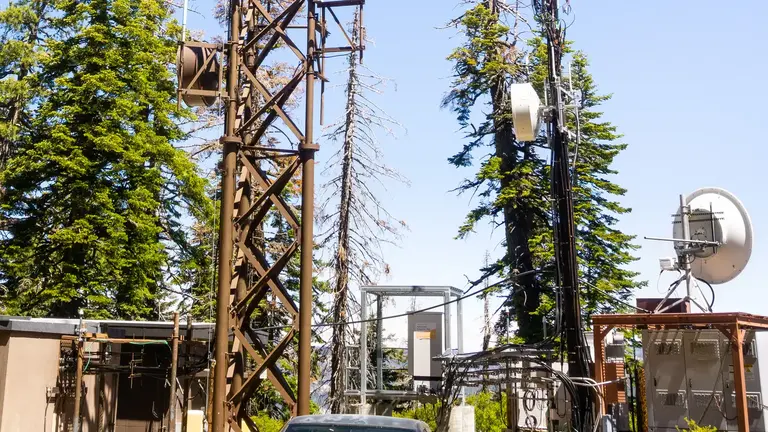
Review this option where a clear path may connect a remote structure without a new buried route.
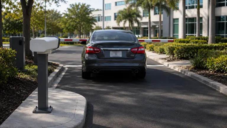
Continue with dedicated plate-capture guidance when a gate or lane needs more than general vehicle context.
Use operations knowledge to mark where vehicles, people and materials enter, wait, transfer and leave.
Assign overview, identification or specialized capture goals to the zones that matter.
Compare target size, light, occlusion, pathway length, network transport and service access at candidate locations.
Review recorded examples from the agreed operating conditions and preserve the final device, label and network documentation.
Questions and answers
Start with a site map showing docks, staging areas, gates, parking, outdoor storage and vehicle routes. For each priority zone, define the event to review and the level of detail needed before selecting a position or camera.
It may provide useful overall context, but distant targets can become too small and parked trailers can block activity. Wide sites often need a combination of overview views and closer cameras at lanes, gates or decision points.
Pole lights, shadows, headlights and reflective surfaces affect exposure differently at each target. A daytime survey cannot show whether motion blur, glare or dark areas will reduce the evidence needed at night.
An overview explains sequence and movement across a larger area. An identification view dedicates more image detail to a smaller target zone, so the two goals may require different focal lengths, positions or cameras.
Fiber may be appropriate when distances exceed practical copper limits, buildings are separated, electrical exposure is a concern or a remote group of devices needs backbone capacity. The actual route and equipment locations should be surveyed.
It can be considered when there is suitable line of sight, stable mounting, power at the remote end and a manageable radio environment. Capacity, alignment, weather exposure and service access must be evaluated for the site.
They create predictable but changing walls that can block cameras mounted too low or aimed across rows. Planning should use normal trailer positions and identify views along travel aisles or at places where vehicles emerge.
Base it on how quickly events are discovered, who reviews them, the camera recording profiles and available storage. Inventory discrepancies found later may require a different review window than dock activity checked each shift.
Record the cabinet location, access method, environmental protection, supplied equipment, power source, uplink, port assignments and device labels. The documentation should help an authorized technician isolate a problem without tracing the site from scratch.
Use fixed operational points such as gates, dock doors, aisle entrances and travel intersections as anchors, then test the design with representative trailer and inventory positions. Overlapping views can preserve context when temporary storage or parked equipment blocks a primary line of sight.
A field survey can test the marked zones against representative lighting, route distances and the network locations available to the operations and infrastructure teams.